III Galibier
The Maurienne Valley, a veritable hit parade of famous cols: Col du Galibier, Col de la Madaleine, the Lacets de Montvernier and Col du Chaussy, Col du Glandon, Col de la Croix de Fer, la Toussière, Col du Molard, Col du Mont Cenis, and at the head of the valley France’s second highest col, the Iseran. An insane list.
The Galbier, the legend of legendary climbs, a sporting ground which has hosted innumerable race changing performances in the Tour. 2646 meters high, France’s fourth highest pass, 6312 feet of climbing from the Maurienne Valley to the col. There’s a sign at the bottom that says, Col du Galibier - 34km. Its a seriously long climb.
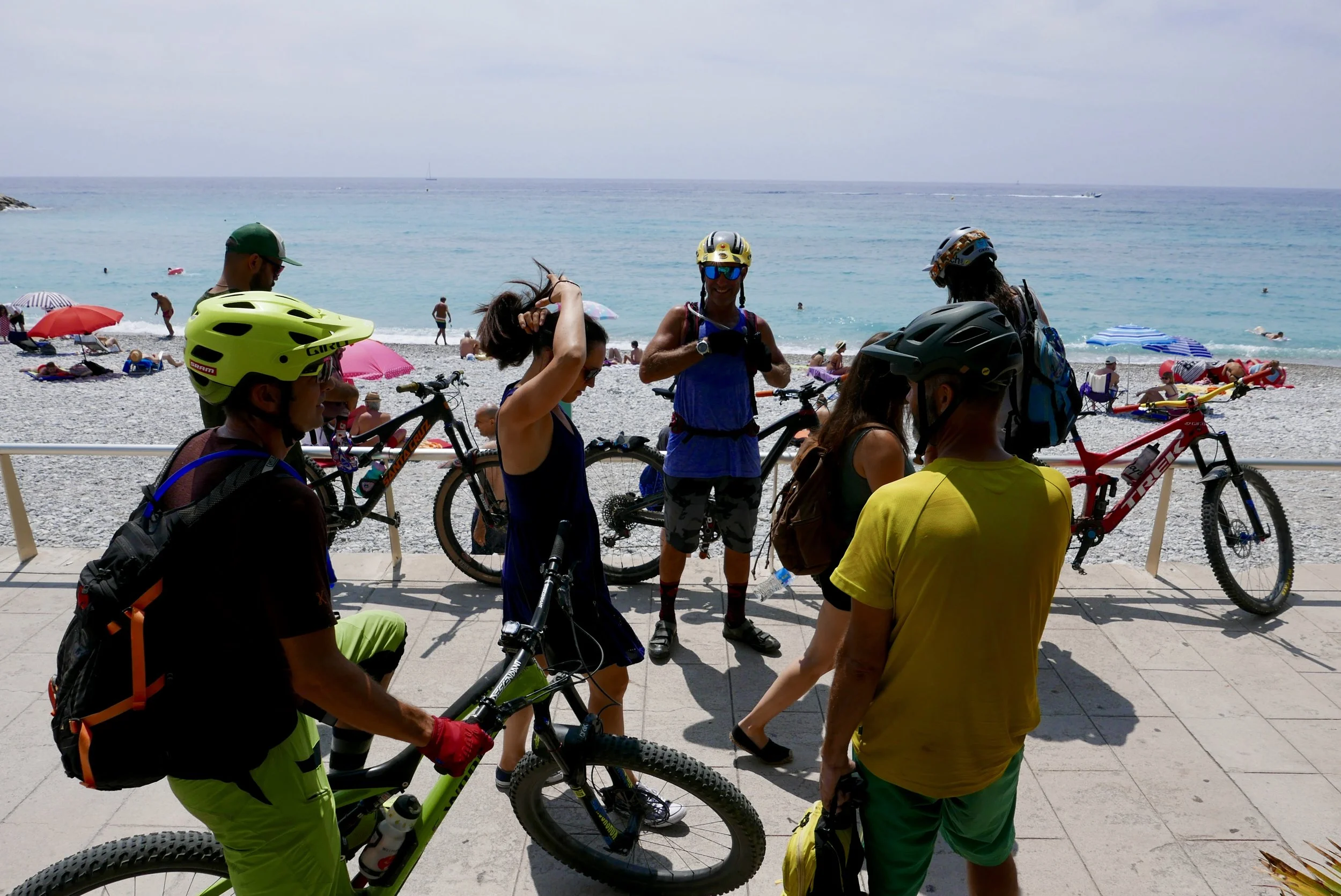
We drove up it. With our trailer full of bikes behind, and yes, we felt smug as we passed lines of straining roadies. Comfortably sprawled in the van, watching the vertical sweep by out the window, I think all of us sort of had this idea in our heads that we were going to the top of the Galibier, where we’d grab a trail off the top.
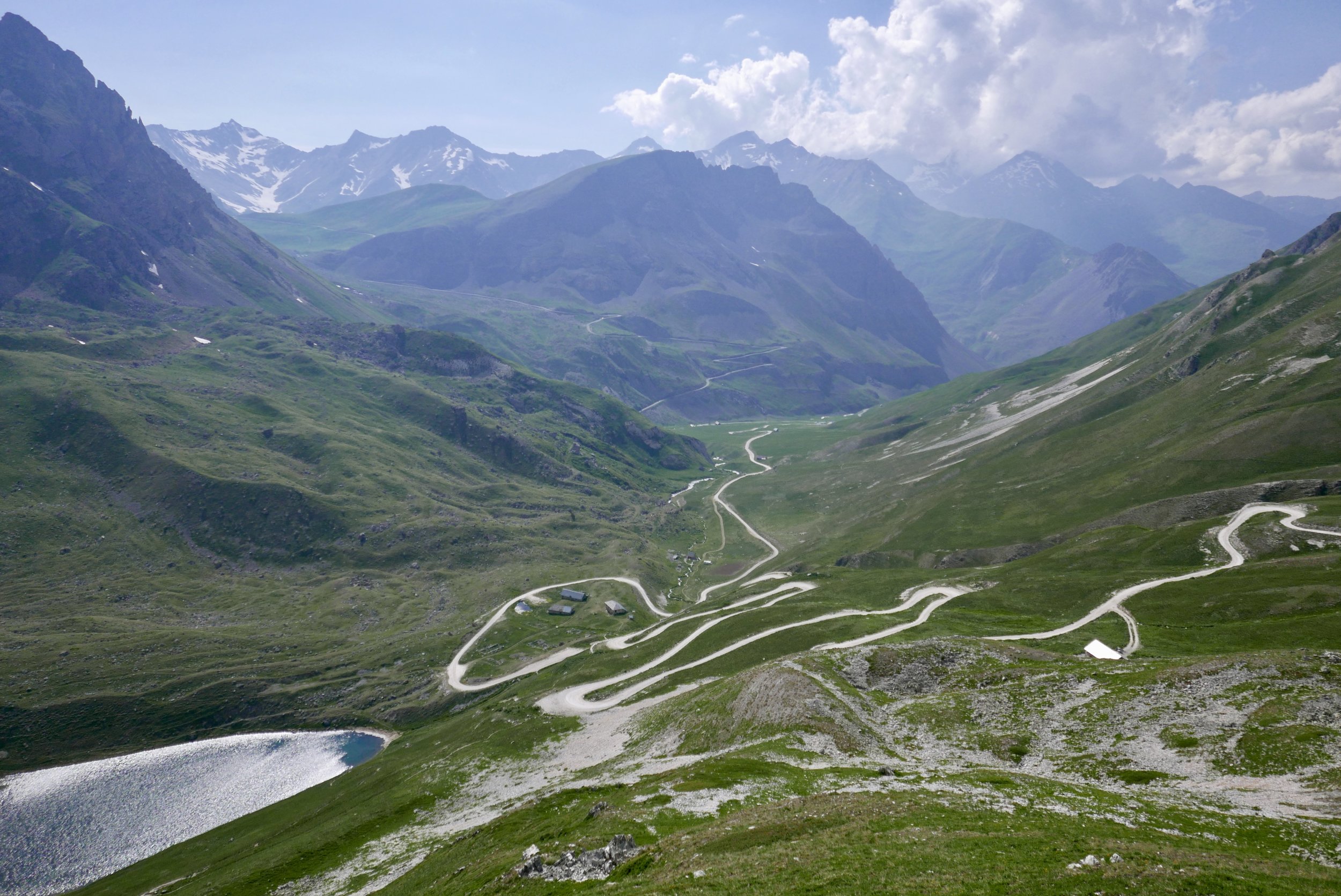
Instead, some 2,000 vertical feet shy of the summit Blaise pulled off the pavement into a dirt parking lot and with his classic huge smile pointed at a dirt road heading up into the peaks. The Col des Ponsonnieres, the “mountain bike Galibier” which we started calling it, a climb at least as difficult as that posed by its road bike counterpart.
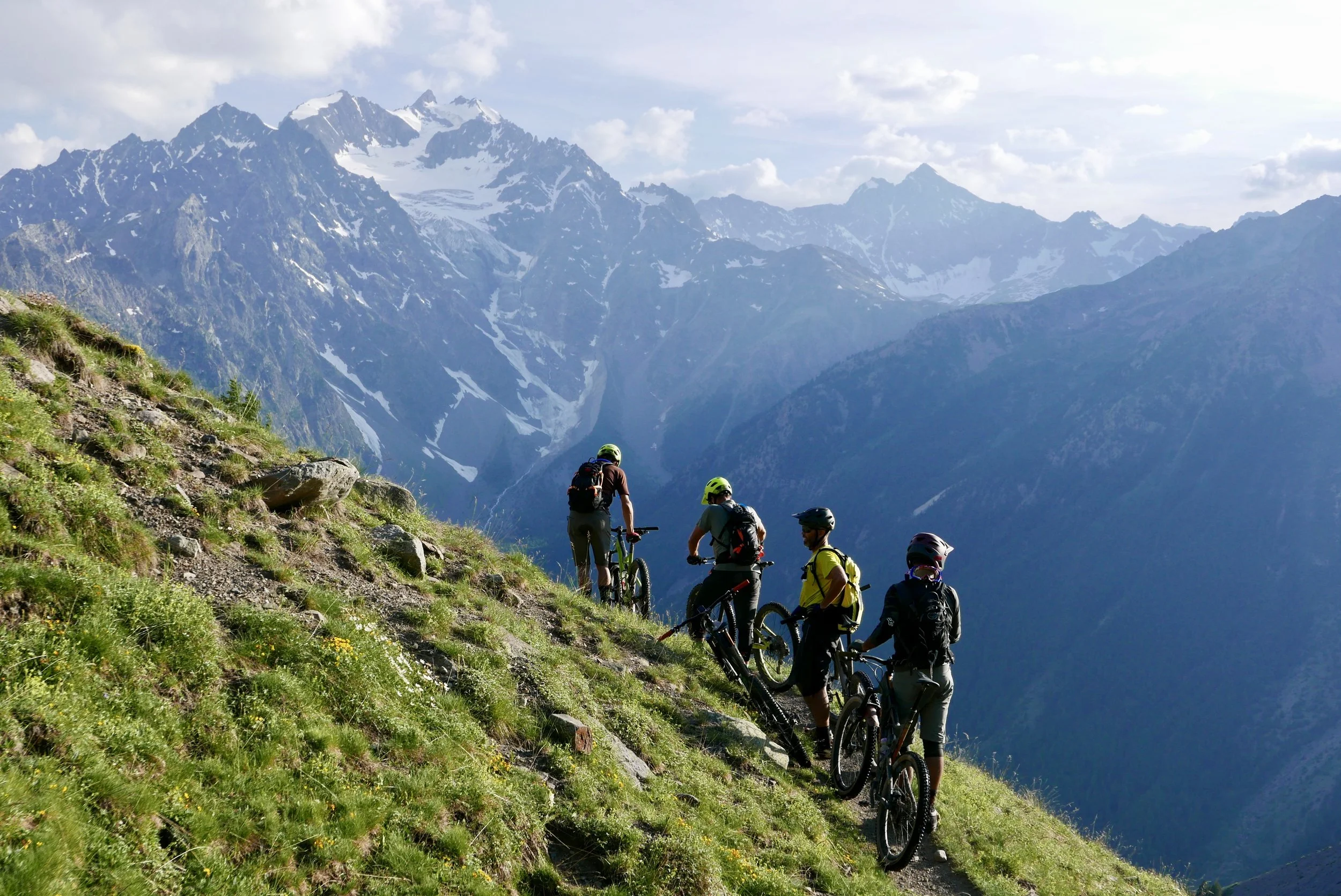
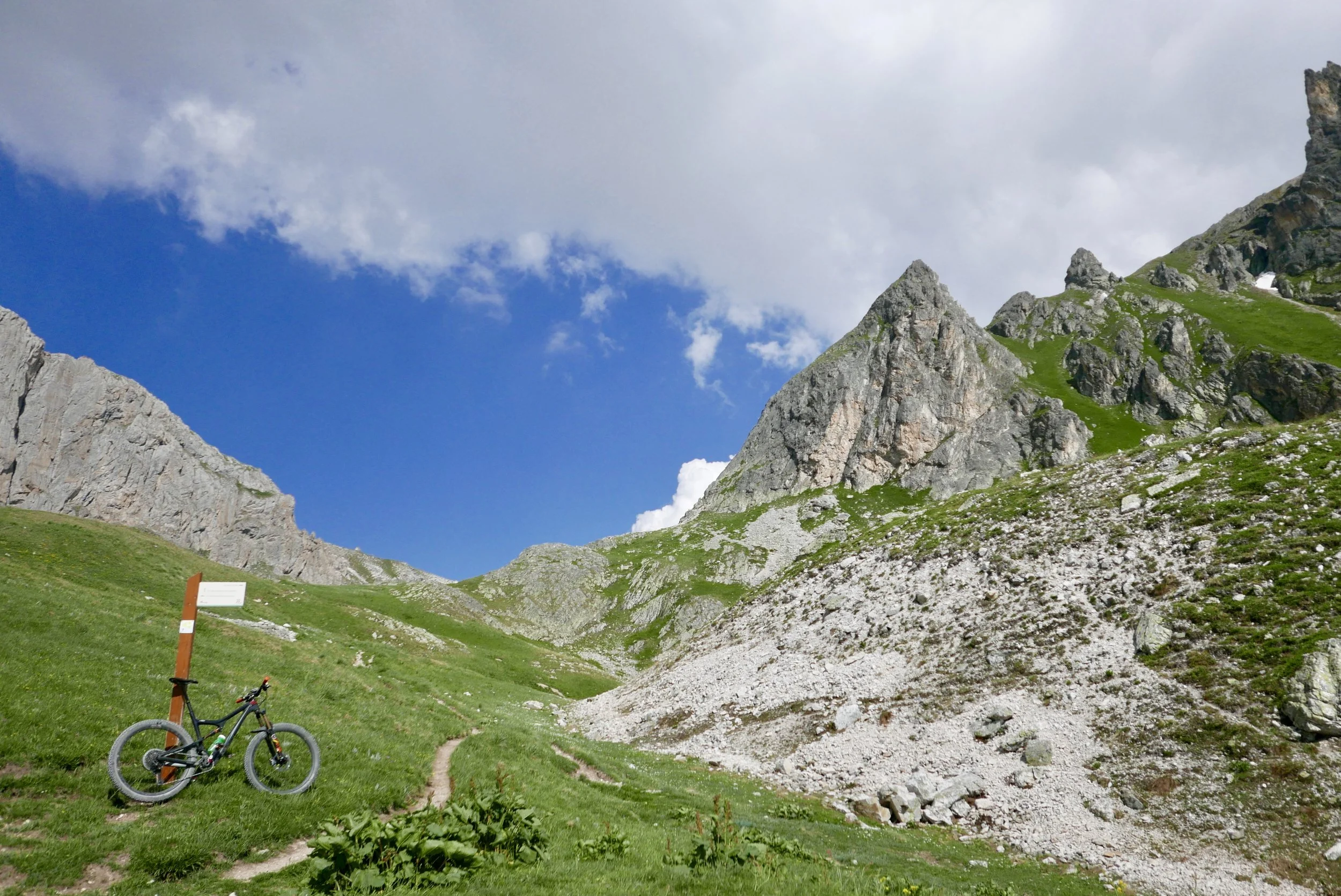
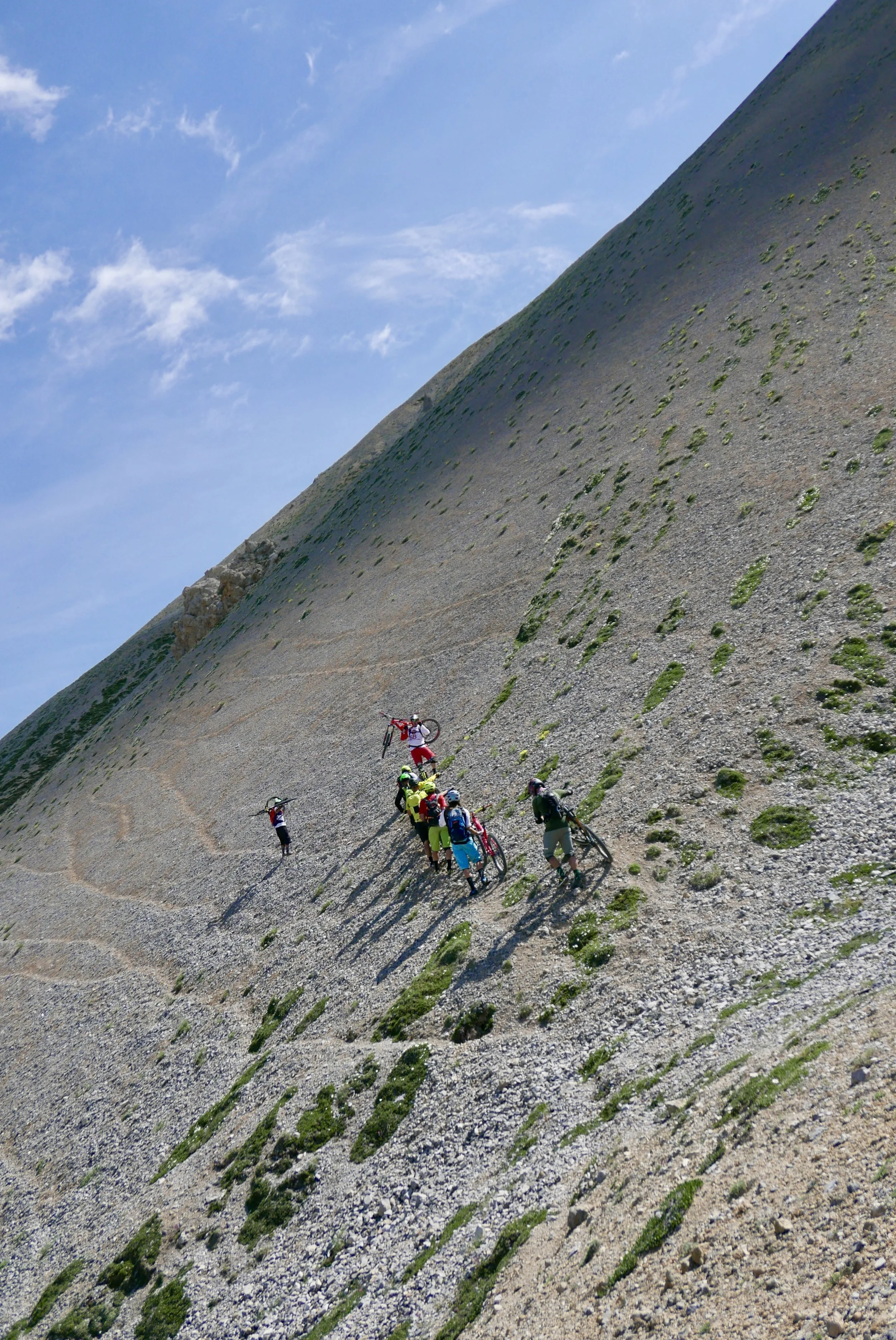
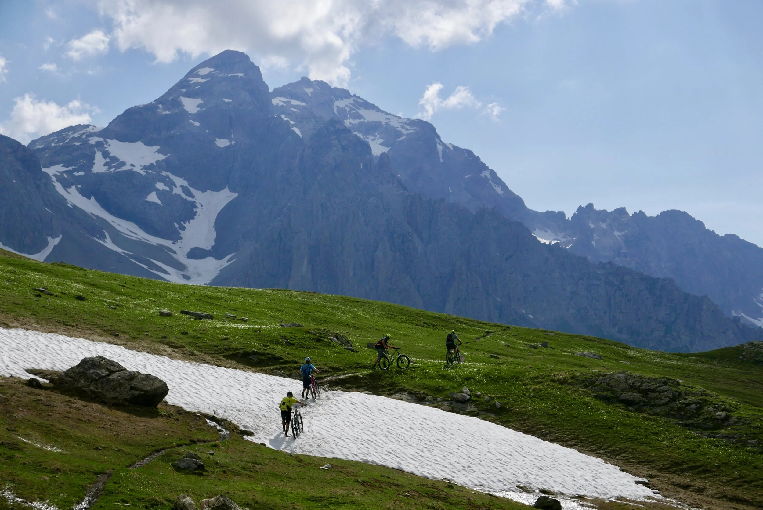
We poured out of the van, pulled bikes off the trailer, and started up a long slog of a loose, dusty, gravel road built by the military in some ancient year. South facing slope, a hot, sunny day, we were baking. Up switchback after switchback, until the spot on where we’d been dropped off was so far below us the cars looked like tiny toys on some distant slope. Eventually the torture ended and we turned off onto a gorgeous single-track. And kept climbing. A sweeping, panoramic traverse across the face of a mountain up into an entirely new huge alpine basin.
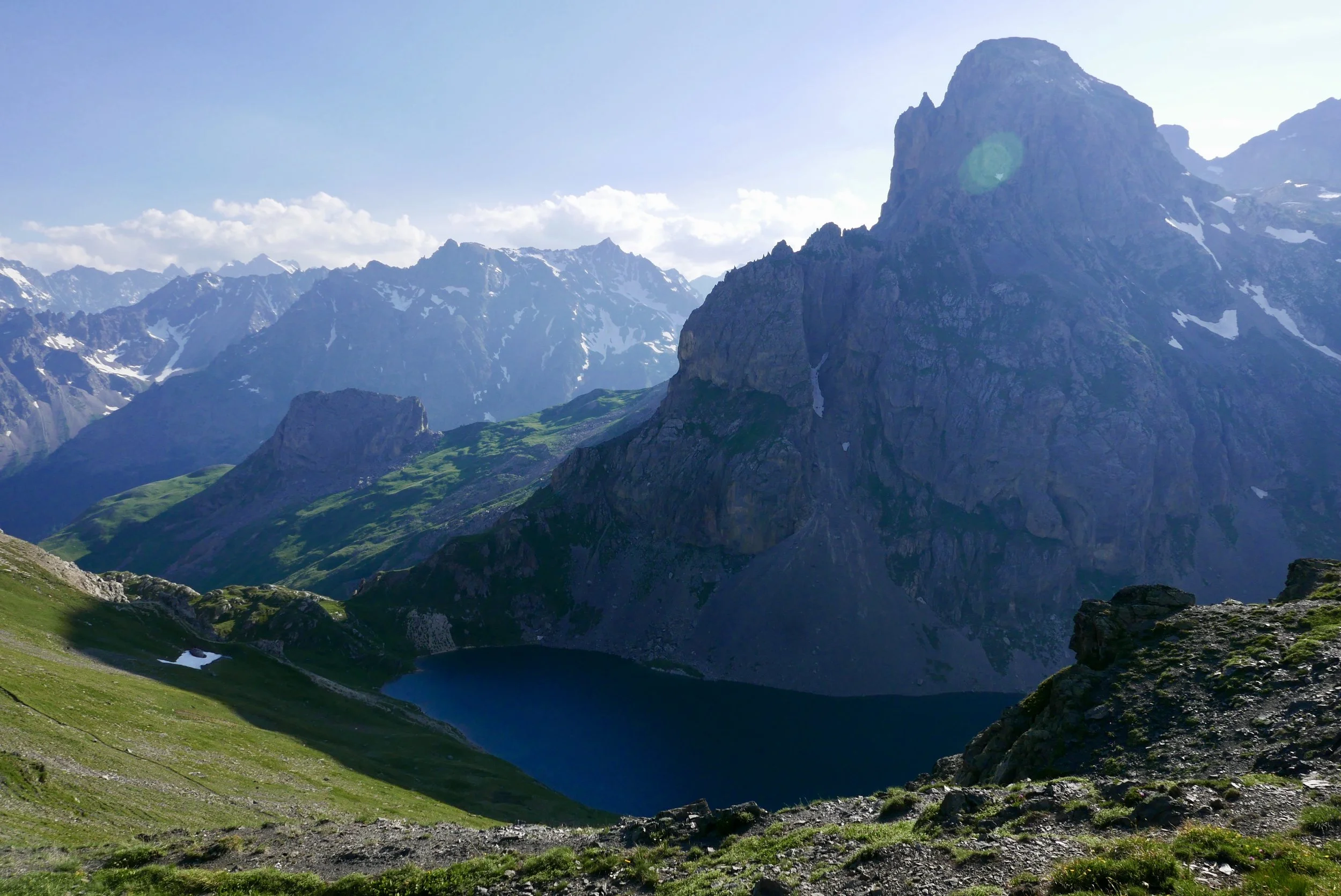
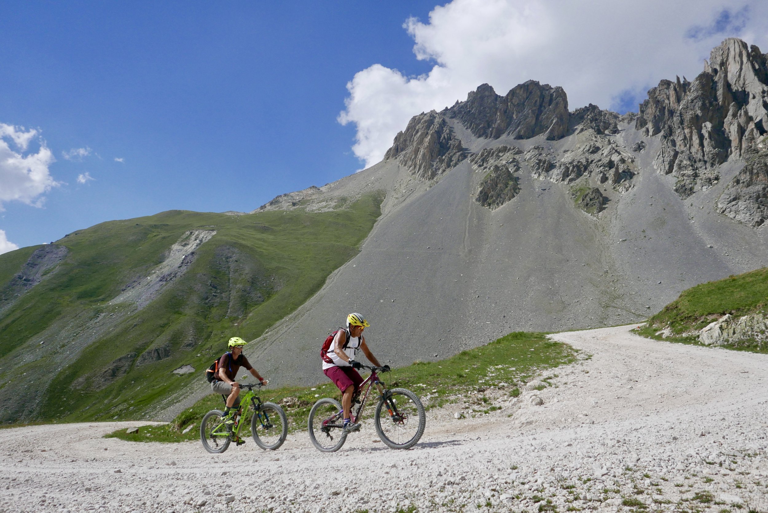
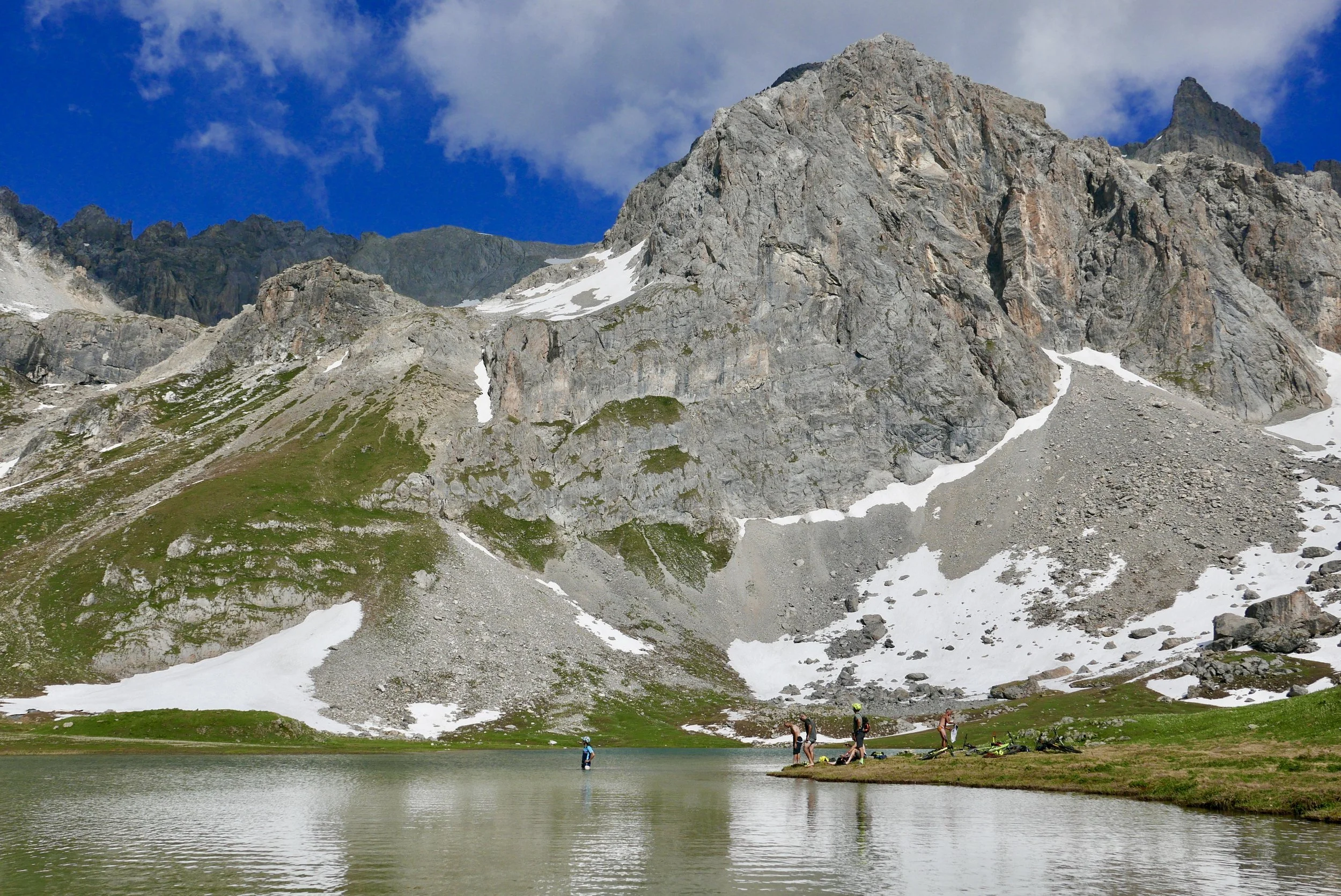
The ascent of the Ponsonnieres was a climb that went on forever. You’d pedal for 45 minutes and come around a bulge of the mountain into yet another massive vista and see a tiny single-track snaking into the distance and disappearing over a ridge impossibly high above. At some point we looked up to find the most ridiculously picturesque alpine lake we’d ever seen. While the Americans gingerly waded their way in up to their knees, Blaise (suddenly wearing a triathlon speedo) backstroked around the pond exclaiming at the top of his French accent, “DO YOU LIKE IT??!!?”
Refreshed from the cold mountain water, climbing the mountain goat trail up the rock ridge above us now not only seemed doable, but almost reasonable.
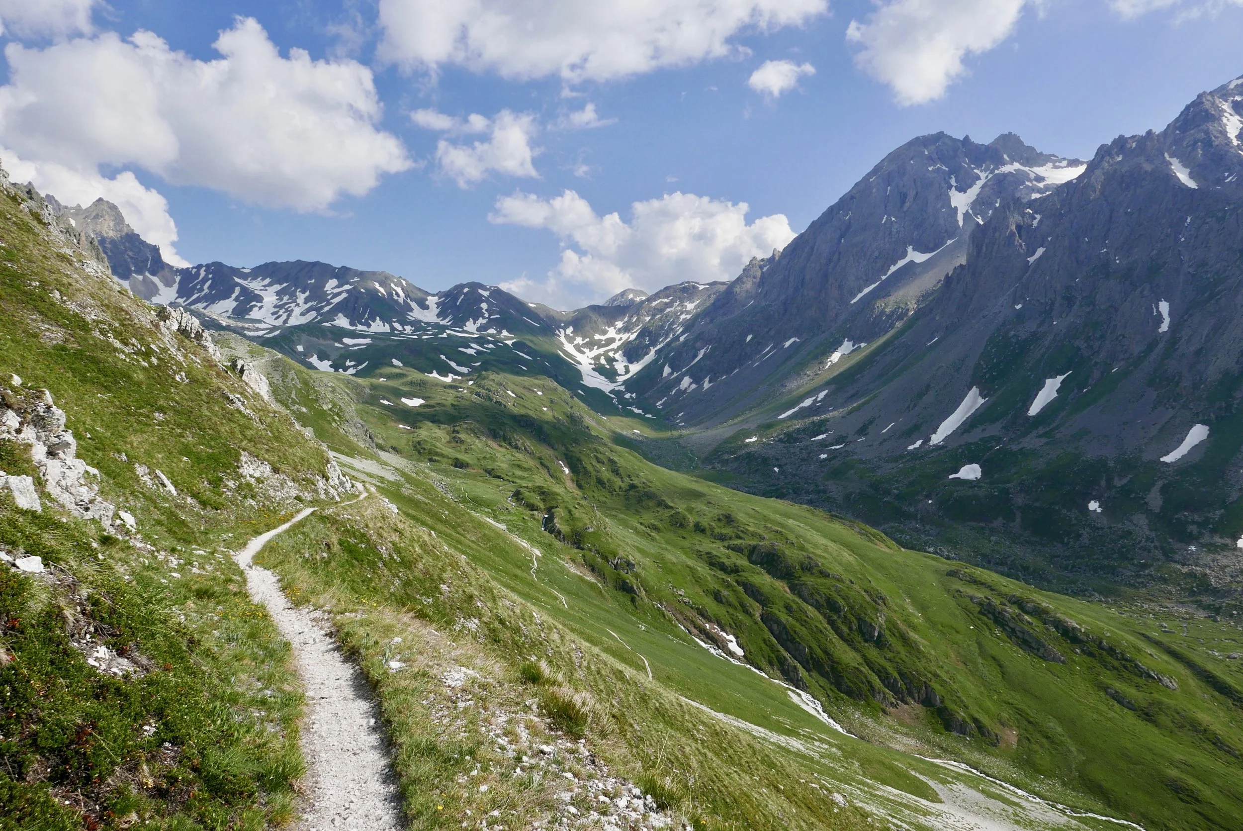
So we did, finally hitting the day’s high point at 7:00 in the evening, the sky still a clear blue and the sun shining strong. Before us was an utterly dreamlike panorama, a huge valley we’d ride down with a massive rocky peak jutting up out of the middle of it creating a huge basin on one side filled with shining blue water, ringed by vertical walls of rock. This was one of those moments that left us speechless, overwhelmed by the indescribable beauty.
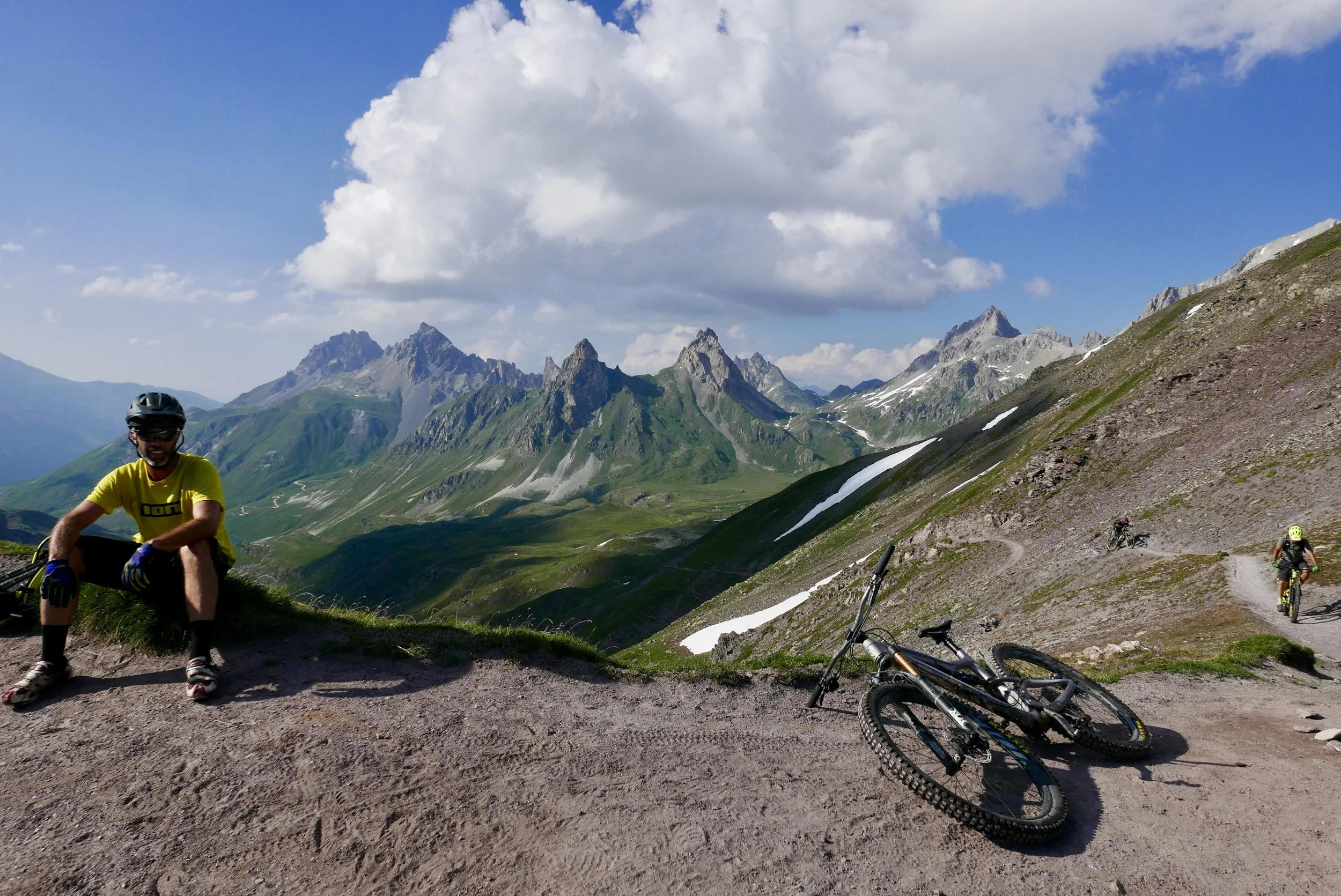
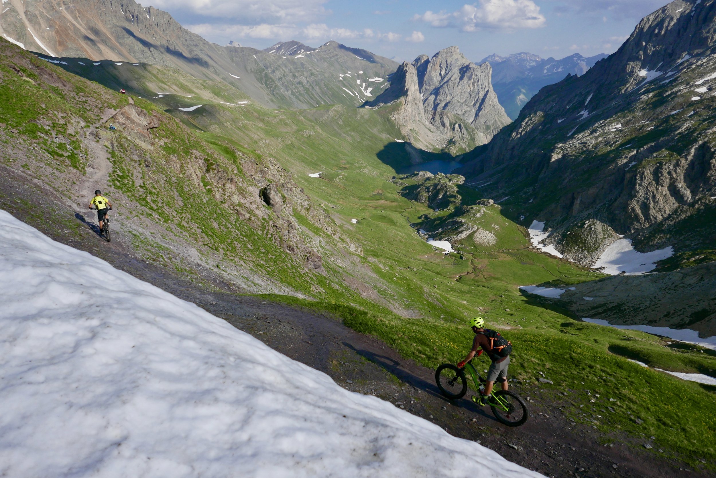
We lingered on the pass as long as we could, soaking up the privilege of being in such a special place on the longest day of the year, before embarking on a 6,000+ foot downhill that would take us 2 hours to reach our hotel in Monêtier-les-Bains.